
Updated: 2025-10-22 18:19:28 (UTC+9) Ver.4

Epicenter Location is Undetermined
Is Distribution
Maximum Observed Is:4
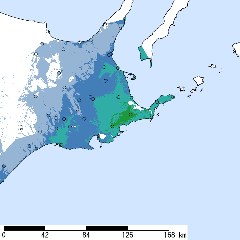
Seismic Intensity (Is) distribution is estimated from the observed data (circles) of NIED K-NET, KiK-net, JMA, and local governments that had been collected by 2025/10/22 18:19:20.
Estimated Is for Major Cities
| Max. Obs. Is | Histogram of Estimated Is |
Municipality
Show All Data | Daytime Population | Distance [km] |
| 4 | Nemuro,Hokkaido | 28,000 | Unknown | |
| 3 | Kushiro,Hokkaido | 170,000 | Unknown |
The histogram shows frequency distribution of estimated Is derived from interpolation of the observation with 250-m mesh. The daytime and nighttime correspond to 9:00-18:59 and 19:00-8:59, respectively. The distance is measured from the epicenter to the center of the municipality.
Is Exposed-Population Estimates of Each City
5- or greater
Not Available
|
|
6- or greater
Not Available
|
6+ or greater
Not Available
|

Population exposed to Is 5- or greater are not estimated.
Seismic Hazard Information of J-SHIS
J-SHIS is a Web service by NIED, to help prevent and prepare for earthquake disaster by providing a public portal for seismic hazard information across Japan.
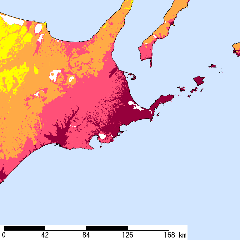
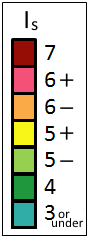
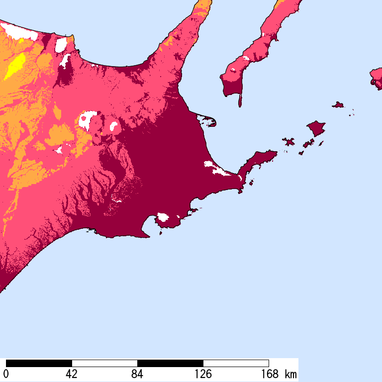
Is Distribution of 2% Probability of Exceedance in 50 Years
Is Distribution of Return Period of 50,000-year
Major Historical Damaging Earthquakes in This Region
Historical earthquakes are unavailable until the epicenter is determined.