Updated: 2026-07-01 21:14:51 (UTC+9) Ver.7

2026-07-01 21:08 (UTC+9),
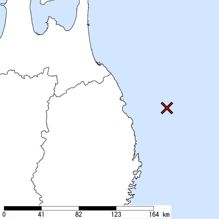
OFF IWATE,
40km Depth,
M 6.0
by JMA
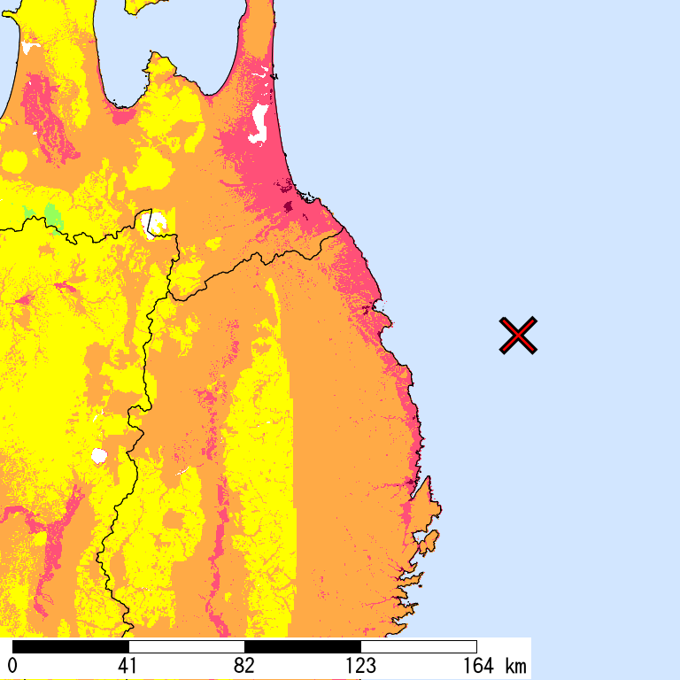
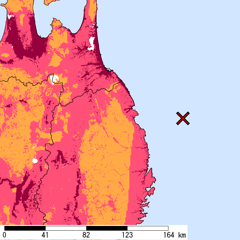
Is Distribution
Maximum Observed Is:4
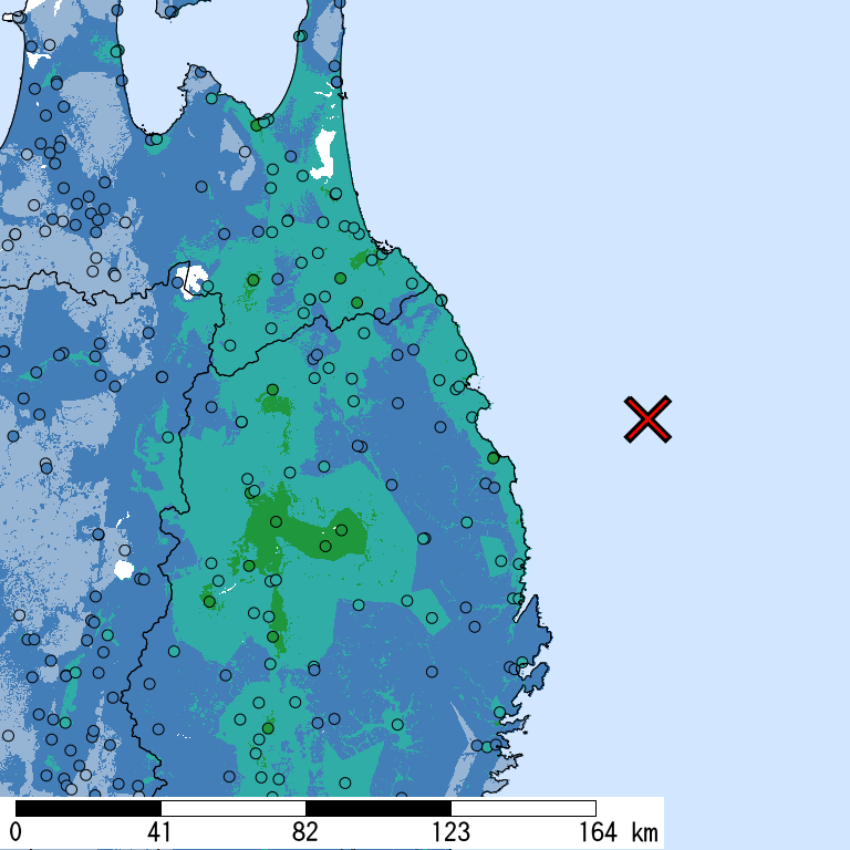
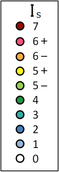
Seismic Intensity (Is) distribution is estimated from the observed data (circles) of NIED K-NET, KiK-net, JMA, and local governments that had been collected by 2026/07/01 21:14:28.
Estimated Is for Major Cities
| Max. Obs. Is | Histogram of Estimated Is |
Municipality Show All Data | Nighttime Population | Distance [km] |
| 4 | Morioka,Iwate | 300,000 | 115 | |
| 4 | Takizawa,Iwate | 56,000 | 120 | |
| 4 | Misawa,Aomori | 40,000 | 109 | |
| 4 | Kitakami,Iwate | 94,000 | 142 | |
| 4 | Hachimantai,Iwate | 26,000 | 114 | |
| 4 | Hachinohe,Aomori | 230,000 | 90 | |
| 4 | Shiwa,Shiwa,Iwate | 32,000 | 121 | |
| 3 | Ishinomaki,Miyagi | 150,000 | 207 | |
| 3 | Oshu,Iwate | 120,000 | 151 | |
| 3 | Towada,Aomori | 63,000 | 116 | |
| 3 | Miyako,Iwate | 57,000 | 63 | |
| 3 | Kurihara,Miyagi | 70,000 | 192 | |
| 3 | Mutsu,Aomori | 59,000 | 168 | |
| 3 | Hanamaki,Iwate | 98,000 | 135 | |
| 3 | Tome,Miyagi | 82,000 | 187 | |
| 3 | Osaki,Miyagi | 130,000 | 209 | |
| 3 | Aomori,Aomori | 290,000 | 161 | |
| 3 | Ichinoseki,Iwate | 120,000 | 169 | |
| 3 | Daisen,Akita | 83,000 | 179 | |
| 3 | Yokote,Akita | 92,000 | 179 |
The histogram shows frequency distribution of estimated Is derived from interpolation of the observation with 250-m mesh. The daytime and nighttime correspond to 9:00-18:59 and 19:00-8:59, respectively. The distance is measured from the epicenter to the center of the municipality.
Is Exposed-Population Estimates of Each City
5- or greater
Not Available
|
5+ or greater
Not Available
|
6- or greater
Not Available
|
6+ or greater
Not Available
|

Population exposed to Is 5- or greater are not estimated.
Major Historical Damaging Earthquakes in This Region
| Year | Region | M | Damage |
| 1856 | Hidaka, Iburi, Watarishima, Tsugaru, Nanbu | 7.5 | Ansei Hachinohe-oki Earthquake,Tsunamis struck Sanriku and the southern coast of Hokkaido. 93 outflows, 106 houses collapsed, 26 drowned in Nanbu Domain. 3 dead in Hachinohe Domain. |
| 1858 | Hachinohe, Sannohe | 7.3 | Depots, floodgates, and bridges were damaged in Hachinohe and Sannohe. |
| 1901 | E Off Aomori | 7.2 | 18 dead or injured, 8 timber houses collapsed in Aomori. Some damages in Akita and Iwate. A 60 cm high tsunami was observed in Miyako, Iwate. |
| 1945 | E Off Aomori | 7.1 | 2 house collapsed, 2 dead in Aomori. The total amplitude of the tsunami was 35 cm. |
| 1968 | E Off Aomori | 7.9 | Tokachi-oki Earthquake,52 dead, 330 injured, 673 houses collapsed, 3,004 partially destroyed. Observed tsunami heights were 3-5 m on the Sanriku Coast and 3 m on Cape Erimo. |
| 2008 | Northern Coast, Iwate | 6.8 | The intraslab earthquake with the normal fault of the Pacific plate (depth of 108 km). 1 dead, 211 injured, 1 house collapsed, 0 partially destroyed (as of January 2009). Maximum Is was 6-. |
| 2011 | Off Sanriku | 9.0 | 2011 off the Pacific coast of Tohoku Earthquake,Mega-thrust earthquake in the subduction zone along the Japan trench from off the middle of Sanriku to off of Ibaraki. 19,418 dead, 2,592 missing, 6,220 injured, 121,809 houses collapsed, 278,496 partially destroyed (as of March 2016; including some damage by aftershocks and induced earthquakes). 90% of fatalities were drownings. Most of the damage including nuclear disaster was caused by a large tsunami (height of about 40 m, according to field investigation). Maximum Is was 7. The damage by ground motion was relatively less significant than that by tsunami. |
Reference: National Astronomical Observatory of Japan, Chronological Scientific Tables, Maruzen, (2017) *partially extracted
Seismic Hazard Information of J-SHIS
J-SHIS is a Web service by NIED, to help prevent and prepare for earthquake disaster by providing a public portal for seismic hazard information across Japan.