Updated: 2026-05-02 18:39:29 (UTC+9) Ver.5 Final Report

2026-05-02 18:28 (UTC+9),
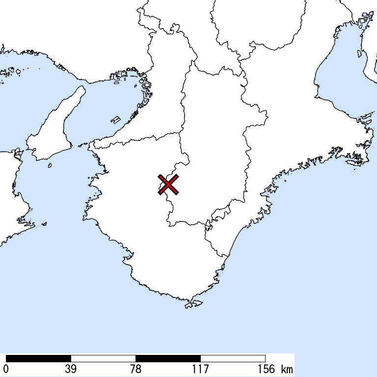
NARA,
70km Depth,
M 5.7
by JMA
Is Distribution
Maximum Observed Is:5-
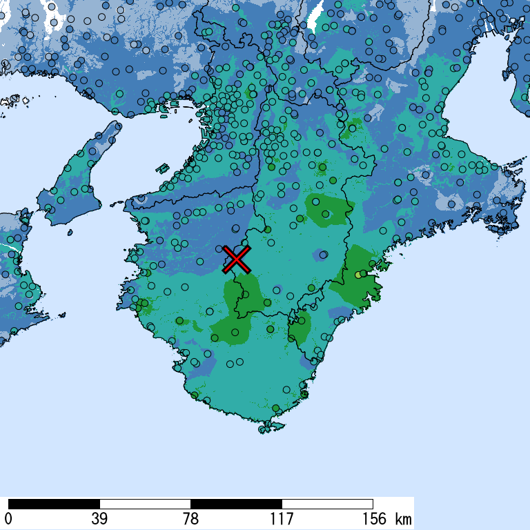
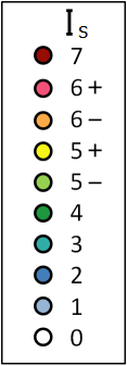
Seismic Intensity (Is) distribution is estimated from the observed data (circles) of NIED K-NET, KiK-net, JMA, and local governments that had been collected by 2026/05/02 18:39:02.
Estimated Is for Major Cities
| Max. Obs. Is | Histogram of Estimated Is |
Municipality Show All Data | Daytime Population | Distance [km] |
| 5- | Owase,Mie | 19,000 | 54 | |
| 3 | Higashisumiyoshi,Osaka,Osaka | 110,000 | 58 | |
| 3 | Kita,Osaka,Osaka | 510,000 | 68 | |
| 3 | Tsu,Mie | 290,000 | 107 | |
| 3 | Yodogawa,Osaka,Osaka | 220,000 | 70 | |
| 3 | Matsusaka,Mie | 160,000 | 100 | |
| 3 | Tokushima,Tokushima | 280,000 | 96 | |
| 3 | Toyonaka,Osaka | 330,000 | 77 | |
| 3 | Wakayama,Wakayama | 370,000 | 42 | |
| 3 | Higashiosaka,Osaka | 490,000 | 64 | |
| 3 | Hirakata,Osaka | 340,000 | 79 | |
| 3 | Suita,Osaka | 360,000 | 74 | |
| 3 | Nara,Nara | 340,000 | 68 | |
| 3 | Chuo,Osaka,Osaka | 530,000 | 65 | |
| 3 | Yao,Osaka | 250,000 | 58 | |
| 3 | Amagasaki,Hyogo | 420,000 | 73 | |
| 3 | Fushimi,Kyoto,Kyoto | 250,000 | 94 | |
| 3 | Takatsuki,Osaka | 290,000 | 83 | |
| 3 | Akashi,Hyogo | 250,000 | 82 | |
| 3 | Nishi,Kobe,Hyogo | 220,000 | 86 |
The histogram shows frequency distribution of estimated Is derived from interpolation of the observation with 250-m mesh. The daytime and nighttime correspond to 9:00-18:59 and 19:00-8:59, respectively. The distance is measured from the epicenter to the center of the municipality.
Is Exposed-Population Estimates of Each City
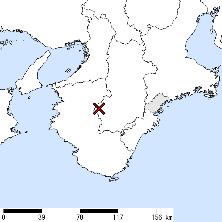
5- or greater
|
5+ or greater
Not Available
|
6- or greater
Not Available
|
6+ or greater
Not Available
|

| Show All Data | ||||
| 5- or greater |
5+ or greater |
6- or greater |
6+ or greater |
|
| Whole of Japan | < 1,000 | |||
| Mie Prefecture | < 1,000 | |||
| Kihoku,Kitamuro,Mie | < 1,000 |
The summation of the exposed population for each city does not necessarily equal to that of the prefecture or whole of Japan.
Major Historical Damaging Earthquakes in This Region
| Year | Region | M | Damage |
| 1916 | Southern Coast, Hyogo | 6.1 | 1 dead, 3 houses collapsed. |
| 1936 | Nara | 6.4 | Kawachi Yamato Earthquake,9 dead. 6 houses collapsed, 53 partially destroyed. |
| 1944 | Off Kii Peninsula | 7.9 | Tonankai Earthquake,1,223 people dead or missing. 17,599 houses collapsed, 36,520 partially destroyed, 3,129 flowed out. Tsunamis heights were 6-8 m on the coast of Kumano; 1-2 m on the coast of Enshu. |
| 1946 | Off Kii Peninsula | 8.0 | Nankai Earthquake,1,330 dead. 11,591 houses collapsed, 23,487 partially destroyed, 1,451 flowed out, 2,598 completely destroyed by fire. Tsunamis, whose height reached 4-6 m, struck the coast from Shizuoka to Kyushu. |
| 1948 | Kii Channel | 6.7 | 2 dead, 60 houses collapsed. |
| 1952 | Nara | 6.7 | Yoshino Earthquake,9 dead, 20 houses collapsed. |
| 1995 | Awajishima Island | 7.3 | Hyogoken Nanbu Earthquake,Many timber houses, RC and steel framed buildings, expressways, and railways, including Shinkansen, collapsed. 6,434 dead, 3 missing, 43,792 injured. 104,906 houses collapsed, 144,274 partially destroyed, 7132 completely or partially destroyed by fire. |
| 2013 | Awajishima Island | 6.3 | The crustal earthquake with revers faults adjacent to the focal area of the 1995 Hyogoken Nanbu Earthquake. 35 injured, 8 houses collapsed and 101 partially destroyed. The maximum Is was 6- (Awaji-shi, Hyogo). |
Reference: National Astronomical Observatory of Japan, Chronological Scientific Tables, Maruzen, (2017) *partially extracted
Seismic Hazard Information of J-SHIS
J-SHIS is a Web service by NIED, to help prevent and prepare for earthquake disaster by providing a public portal for seismic hazard information across Japan.